

Good to Know
lOCATION
Rolwaling-Tashilapcha pass
TRIP TYPE
Trekking in Nepal
TRANSPORTATION
Tourist Bus/Privet Car
ARRIVAL ON
kathmandu
DEPARTURE FROM
Kathmandu
Maximum Altitude:
6187M
GROUP SIZE
2
ACCOMMODATION
Lodge and Tent
TRIP CODE
2026y
ROLWALING TREK
Pachhermo Peak (6187m)
Embark on an extraordinary adventure that fuses the serene beauty of the Rolwaling Valley with the thrill of high-altitude mountaineering. The Rolwaling Trek with Pachhermo Peak summit is designed for experienced trekkers and mountaineers seeking an expedition that challenges both body and spirit, while rewarding with unmatched Himalayan vistas and cultural immersion.
The Rolwaling Trek
Nature, Culture, and Scenic Majesty
While the classic Rolwaling Trek typically begins in Barabise, starting from Simigaon, a remote Sherpa village nestled deep within the valley, offers a more gradual and effective acclimatisation process, making it ideal for climbers targeting Pachhermo Peak.
The trail meanders through diverse landscapes, from lush forests rich with Himalayan flora and fauna to sweeping glacial moraines that reveal the valley’s geological history. Traditional Sherpa settlements along the way showcase terraced fields clinging to mountainsides—a testament to the harmonious relationship between the people and their land. As you ascend, the Rolwaling Valley opens up to stunning vistas of snow-capped peaks, foreshadowing the challenges and exhilaration that lie ahead.
Pachhermo Peak
Test of Skill and Resolve
Standing at 6,187 meters (20,298 feet), Pachhermo Peak is a formidable climb that demands technical skill, endurance, and mountaineering experience. Trekkers must be adept in the use of ice axes, crampons, and ropes to navigate its steep snow and ice slopes. Proper acclimatisation is critical; a strategically established base camp allows for rest and preparation before attempting the summit, ensuring climbers are physically and mentally ready.
The Summit
Reward Beyond Words
With the guidance of a qualified climbing team, the ascent of Pachhermo Peak transforms into a safe and unforgettable journey. Their expertise in route selection, risk management, and equipment handling is crucial for success in the high Himalayas.
1: Reaching the summit
2: an awe-inspiring moment
The panorama stretches from the towering Gauri Shankar to the distant silhouette of Everest, with Melungtse and other Himalayan giants completing the breathtaking scene. Every step of effort, every challenge overcome, culminates in this unparalleled reward—a triumph of determination and an intimate encounter with the majesty of the Himalayas.
Starting Point Rolwaling Trek
Pachermo Peak Climb
Usually take the following route to reach the Rolwaling region:
Drive or Fly from Kathmandu to Jagat or Simigaon
Most treks start with a drive from Kathmandu to Jagat, a small village that serves as the gateway to the Rolwaling Valley. The drive is scenic, passing through terraced fields, rivers, and traditional villages. Alternatively, for a quicker start, some travellers may take a short domestic flight to nearby airstrips, followed by a trek to Jagat.
Trek Through the Rolwaling Valley
From Jagat, the trail ascends gradually, passing through villages like Sibang, Simigaon, Beding, Na, and other settlements, offering a deep cultural and natural immersion. Trekkers navigate forests, rivers, and high-altitude landscapes before reaching Pachermo Base Camp, the launching point for the summit attempt.
Pachermo Peak Climb
The climb typically starts from Pachermo Base Camp, located at approximately 5,200–5,300 meters. From here, climbers ascend gradually toward the summit at 6,187 meters.
Summary: The journey begins in Kathmandu, continues via Jagat into the heart of Rolwaling Valley, and culminates at Pachermo Peak’s base camp, blending trekking and mountaineering into a seamless Himalayan adventure.
Best Time for the Rolwaling
Pachermo Peak Climb
The ideal periods to embark on the Rolwaling Trek and attempt Pachermo Peak are during autumn (September to November) and spring (March to May). These seasons provide optimal weather, stable trails, and breathtaking Himalayan scenery.
Autumn | September to November:
Autumn is a favourite for trekkers and climbers alike. The skies are usually clear, offering uninterrupted views of the snow-capped peaks, while temperatures remain moderate. The trails are well-defined and relatively less crowded, allowing for a more serene trekking experience. Crisp mountain air and vivid landscapes make this season perfect for both trekking and high-altitude climbing.
Spring | March to May:
Spring breathes life into the Rolwaling region. Forests explode with colourful rhododendron blooms, and wildlife becomes more active. The warming temperatures and generally stable weather create favourable conditions for climbing Pachermo Peak. This season combines the joy of trekking through lush landscapes with the thrill of summiting one of Nepal’s pristine peaks.
Note: Mountain weather is inherently unpredictable. Always check current forecasts, stay updated with local trekking agencies, and rely on experienced guides to ensure safety and a smooth journey.
Rolwaling Trek
With Pachermo Peak (6,187m)
Duration
The Rolwaling Trek, including the climb of Pachermo Peak, is a journey of approximately 18 to 20 days. This timeframe ensures proper acclimatisation and allows trekkers to fully immerse themselves in the breathtaking landscapes of the Rolwaling Valley. With ample time to rest and enjoy the region, you’ll experience the Himalayas in all their serene beauty.
Distance
Covering roughly 150 kilometres (93 miles), the Rolwaling Trek takes you through remote valleys, high mountain passes, and pristine alpine landscapes. The total distance may vary slightly depending on your chosen route or any optional side trips along the way.
Daily Walking Hours
Trekking hours range between 5 to 8 hours per day, depending on the terrain and altitude gain. While some days involve leisurely walks through villages and forests, others demand more endurance, especially during the approach to Pachermo Peak Base Camp.
Pachermo Peak Climb
Summiting Pachermo Peak is a rewarding challenge. From the base camp, the climb typically takes 6 to 8 hours, depending on acclimatisation, weather, and individual fitness. This technically demanding peak requires mountaineering skills, including the use of ropes and crampons, making it a thrilling experience for seasoned adventurers.
Difficulty Level
The Rolwaling Trek, combined with Pachermo Peak, is challenging. Trekkers navigate rugged terrain, steep ascents and descents, and remote high-altitude landscapes. This trek is best suited for experienced trekkers or climbers with previous high-altitude experience. Physical fitness, stamina, and readiness for technical climbing sections are essential to make the most of this adventure.
Why choose Adventure Fourteen Summit?
Your Trusted Companion
A successful Rolwaling Trek with Pachermo Peak requires expertise, careful planning, and reliable support. At Adventure 14 Summit Pvt. Ltd., our experienced guides possess intimate knowledge of the region’s trails, weather patterns, and mountain conditions. We manage all logistics—from permit arrangements to accommodation, transportation, and safety measures—allowing you to focus entirely on your Himalayan adventure.
With Adventure14Summits, your journey is seamless, safe, and fully immersive, giving you the freedom to explore this remote Himalayan gem with confidence.
ROLWALING TREK WITH PACHERMO PEAK
 Meet Our Expert
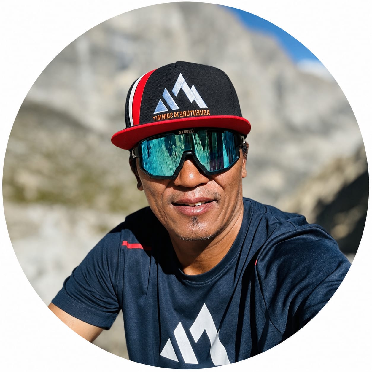
TEMBA SHERPA
Meet Our Expert
TEMBA SHERPA
All Inclusive Price.
$
2500
Best
GuaranteeValue


Itinerary
Airport representatives will welcome you outside the terminal hall. Transfer to the hotel, brief you about tomorrow, and collect any documents required by our office.
ACCOMODATION
3 Star hotel
MAX ALTITUDE
1,350 m/4429 ft
MEALS
B/B
introduction and tip preparation: Introduce your trekking guide and receive a briefing about the Tashi Laptcha pass with the Phapchhermo Peak each-day program. Trek leaders will check our trekking equipment to make sure that it is in good condition for our coming journey.
ACCOMODATION
3 Star hotel
MAX ALTITUDE
1,350 m/4429 ft)
MEALS
B/B
Drive north from Kathmandu through the beautiful, high green hills and white mountain views. On the way, we will visit the Bhimeshwor Temple in Dolakha. The last hour’s dusty drive will lead down to our campsite on the Tama Kosi River bank.
ACCOMODATION
Lodge
MAX ALTITUDE
1020 m/3346 ft
MEALS
BLD
Our route follows the Bhote Kosi’s deep valley, which gradually becomes more gorge-like. We crisscross the hectic river on picturesque suspension bridges and pass a few hamlets and villages. The forest occasionally gives way to views of Gaurishankar (7145 m). Although this area is still Hindu, signs of Buddhism, such as prayer flags and chortens, begin to appear.
ACCOMODATION
Lodge
MAX ALTITUDE
250 m/4101 ft.
MEALS
BLD
After a few hours of walking, we leave the valley to continue east. The path slowly gains altitude on an impressive slope and later crosses terraces to reach Simigaon. Simigaon is a Sherpa and Tamang village, marked by its Tibetan monastery perched above the houses on top of the hill in front of Gaurishankar.
ACCOMODATION
Lodge
MAX ALTITUDE
2025 m/6643 ft.
MEALS
BLD
We now enter the Rolwaling valley through a gorgeous rhododendron and bamboo forest. The path steadily climbs towards Gyalche. Eventually, we descend back down to the river and establish our campsite on the Rolwaling Khola bank.
ACCOMODATION
Lodge
MAX ALTITUDE
2800 m/9186 ft
MEALS
BLD
We gradually ascend the forested valley of tropical alpine vegetation, which is surrounded by breathtaking mountain scenery. Arriving at Bedding, we should see Melungtse I (7181 m), Rolwaling’s highest summit. Bedding is a small and isolated village. An old village with a historical Buddhist monastery is located in the center of the village.
ACCOMODATION
Lodge
MAX ALTITUDE
3690 m/12106 ft
MEALS
BLD
A short walk will take us to Na, the last tiny alpine hamlet that is only inhabited during the summer months. Na is situated just below the Tsho Rolpa Glacier Lake in a beautiful valley including Chobutse (6685 m), Chugimago (6259 m), and Yalung Ri (5630 m).
ACCOMODATION
Lodge
MAX ALTITUDE
4185 m/13730 ft
MEALS
BLD
We can either take a rest or organize an excursion towards the Yalung La Pass. Here we climb steadily, the path taking us to a vast amphitheater at 4900 m, situated just below the pass, and the Ramdun peak ice fall, which is furrowed with streams. This is an excellent place to view the Tsho-Rolpa glacier lake. In each direction, we get stunning views: to the east, the Yalung Glacier; to the south, Ramdung Peak (5930 m); to the west, Yalung Ri (5630 m), and to the north, the breathtaking Himalayan summits along the Tibetan border.
ACCOMODATION
Lodge
MAX ALTITUDE
4750 m/15583 ft
MEALS
BLD
We climb up to the dam that holds back the Tsho-Rolpa lake, preventing it from splitting the thin moraine and destroying the valleys below. We followed the northern bank, and we must cross a disordered moraine area and only scramble down the height we walked up
ACCOMODATION
Tent
MAX ALTITUDE
4750 m/15583 ft.
MEALS
BLD
The path plunges onward towards the Trakarding glacier. This is a huge and impressive rocky area that gives way to It is now quite a venture to access the glacier. We need to climb up a rock face and set a rope for the porters, helping them scramble up the 160 meters before accessing the campsite area. This provides a fantastic panorama with the Trakarding glacier below and the great glacial wall of the Drolumbau glacier to the north.
ACCOMODATION
Tent
MAX ALTITUDE
5205 m/17076 ft.
MEALS
BLD
We woke up early today, around 3 to 4 a.m., and had breakfast before beginning our climb. We must reach the summit before noon because, in the afternoon, the strong winds in the Highlands might become a barrier to a successful summit. We need to rope up the glacier as it contains several crevasses. The guides will fix a rope wherever necessary. After enjoying the summit views and taking pictures, we descend to Island Peak Base Camp.
ACCOMODATION
Tent
MAX ALTITUDE
5755 m/18881 ft.
MEALS
BLD
The only route to getting a foothold on the Drolumbau glacier is tricky and fairly steep. Our efforts will be rewarded by a unique view towards Tengi Ragi Tau (6943 m), Bigphero-Go Shar (6729 m), and Dragkar-Go (6793 m), with a background of many peaks towards and beyond the Tibetan border. We progress through moraines and gentle slopes, from time to time crossing glacial areas, towards the summit. The campsite is about 300 meters below the summit, just beyond a tricky but impressive rocky section.
ACCOMODATION
Tent
MAX ALTITUDE
6186 m/20295 ft
MEALS
BLD
Today offers an easy and pleasant descent. Just before arriving in the tiny Sherpa village of Thame, we can visit its picturesque monastery perched on the hillside. Thame lies on an important route for Tibetan traders and their yak caravans trekking across the Nangpa La (5716 m/18,752) on the Tibetan border to Namche Bazaar and beyond.
ACCOMODATION
Lodge
MAX ALTITUDE
3805 m/12483 ft
MEALS
BLD
Namche Bazaar is the Solu Khumbu region’s sherpa capital and home to the Sagarmatha National Park visitor center. There is plenty to do around Namche Bazaar, and the trekker should spend a day here acclimatizing before heading up to the Everest base camp trek.
ACCOMODATION
Lodge
MAX ALTITUDE
3440 m/11286 ft.
MEALS
BLD
After breakfast, the trail drops downhill through the pine forest to the bridge and continues walking to the Monju. Again, some rules had to be followed at the National Park checkpoint in Monju before walkers continued to Phakding for lunch. After your all-way treks back to Lukla.
ACCOMODATION
Lodge
MAX ALTITUDE
2840 m/9817 ft.
MEALS
BLD
early morning flight to Kathmandu; transfer to your hotel. Join the farewell dinner if you have time in the afternoon and evening. Flight Lukla–Kathmandu might be delayed due to poor visibility and a bad weather forecast. The alternative way is by heli.
ACCOMODATION
3 Star hotel
MAX ALTITUDE
1350 m/4429 ft.
MEALS
BLD
We tour Durbar Square, Pashupatinath temple, Swayambhunath stupa, and Bouddhanath stupa, which are all world heritage sites. Pashupatinath Temple is one of the most important places of pilgrimage for all Hindus. Swayambhunath is also known as the Monkey Temple, and the Boudhanath Stupa is one of the largest stupas in the world.
ACCOMODATION
Lodge
MAX ALTITUDE
1350 m/4429 ft.
MEALS
BLD
Generally, you need 3 hours before your flight time to get to the Kathmandu airport in Nepal. So you transfer to the Kathmandu airport for your flight to your destination.
ACCOMODATION
Logde
MAX ALTITUDE
1350m
MEALS
BLD
FIXED DEPARTURE DATE OF ROLWALING TREK WITH PACHERMO PEAK
| Start | Finish | Availability | Price | |
|---|---|---|---|---|
| September 10, 2026 | Trip Status available | Starting from $ 2200 | Book Now | |
| October 25, 2026 | Trip Status available | Starting from $ 2200 | Book Now | |
| November 28, 2026 | Trip Status available | Starting from $ 2200 | Book Now | |
| March 3, 2027 | Trip Status available | Starting from $ 2200 | Book Now | |
| April 10, 2027 | Trip Status available | Starting from $ 2200 | Book Now | |
| May 29, 2027 | Trip Status available | Starting from $ 2200 | Book Now |
Map

Reviews
Meet Our Expert
TEMBA SHERPA
All Inclusive Price.
$
2500
Best
GuaranteeValue
𝗪𝗘'𝗗 𝗟𝗢𝗩𝗘 𝗧𝗢 𝗛𝗔𝗩𝗘 𝗔 𝗖𝗛𝗔𝗧
"𝗜𝗳 𝘆𝗼𝘂'𝗿𝗲 𝗶𝗻𝘁𝗲𝗿𝗲𝘀𝘁𝗲𝗱 𝗶𝗻 𝗱𝗶𝘀𝗰𝘂𝘀𝘀𝗶𝗻𝗴 𝘆𝗼𝘂𝗿 𝗻𝗲𝘅𝘁 𝗮𝗱𝘃𝗲𝗻𝘁𝘂𝗿𝗲, 𝗻𝗲𝗲𝗱 𝗮𝘀𝘀𝗶𝘀𝘁𝗮𝗻𝗰𝗲 𝘄𝗶𝘁𝗵 𝗽𝗹𝗮𝗻𝗻𝗶𝗻𝗴, 𝗼𝗿 𝘀𝗶𝗺𝗽𝗹𝘆 𝘄𝗮𝗻𝘁 𝘁𝗼 𝗵𝗮𝘃𝗲 𝗮 𝗰𝗵𝗮𝘁 𝗮𝗯𝗼𝘂𝘁 𝗮𝗻𝘆 𝘁𝗼𝗽𝗶𝗰, 𝗳𝗲𝗲𝗹 𝗳𝗿𝗲𝗲 𝘁𝗼 𝗮𝘀𝗸 𝗺𝗲 𝗮𝗻𝘆𝘁𝗵𝗶𝗻𝗴 𝗵𝗲𝗿𝗲. 𝗜'𝗺 𝗺𝗼𝗿𝗲 𝘁𝗵𝗮𝗻 𝗵𝗮𝗽𝗽𝘆 𝘁𝗼 𝗵𝗲𝗹𝗽 𝗶𝗻 𝗮𝗻𝘆 𝘄𝗮𝘆 𝗜 𝗰𝗮𝗻!"
+𝟵𝟳𝟳-𝟬𝟭𝟱𝟵𝟮𝟬𝟴𝟵𝟵 | +𝟵𝟳𝟳 𝟵𝟴𝟰𝟭𝟯𝟭𝟲𝟯𝟵𝟮
WANT TO CUSTOMIZE YPUR OWN TRIP
PLANNING A TRIP ?
"𝗪𝗲 𝗵𝗮𝘃𝗲 𝗮 𝘁𝗲𝗮𝗺 𝗼𝗳 𝗲𝘅𝗽𝗲𝗿𝗶𝗲𝗻𝗰𝗲𝗱 𝘁𝗿𝗮𝘃𝗲𝗹 𝗲𝘅𝗽𝗲𝗿𝘁𝘀 𝘄𝗵𝗼 𝗵𝗮𝘃𝗲 𝗯𝗲𝗲𝗻 𝘄𝗼𝗿𝗸𝗶𝗻𝗴 𝗶𝗻 𝘁𝗵𝗶𝘀 𝗶𝗻𝗱𝘂𝘀𝘁𝗿𝘆 𝗳𝗼𝗿 𝗼𝘃𝗲𝗿 𝗮 𝗱𝗲𝗰𝗮𝗱𝗲. 𝗙𝗲𝗲𝗹 𝗳𝗿𝗲𝗲 𝘁𝗼 𝗰𝗼𝗻𝘀𝘂𝗹𝘁 𝘄𝗶𝘁𝗵 𝘂𝘀 𝘁𝗼 𝗴𝗲𝘁 𝘀𝘁𝗮𝗿𝘁𝗲𝗱 𝗼𝗻 𝘆𝗼𝘂𝗿 𝗻𝗲𝘅𝘁 𝗮𝗱𝘃𝗲𝗻𝘁𝘂𝗿𝗲!"


© Copyright Adventure 14 Summit Expedition.